By Tim Clinton
Oregon’s Crater Lake is nothing short of spectacular any way you look at it.
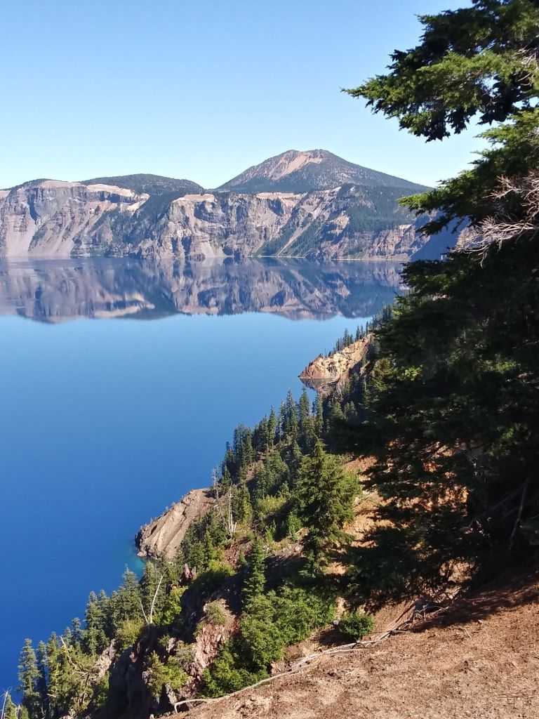
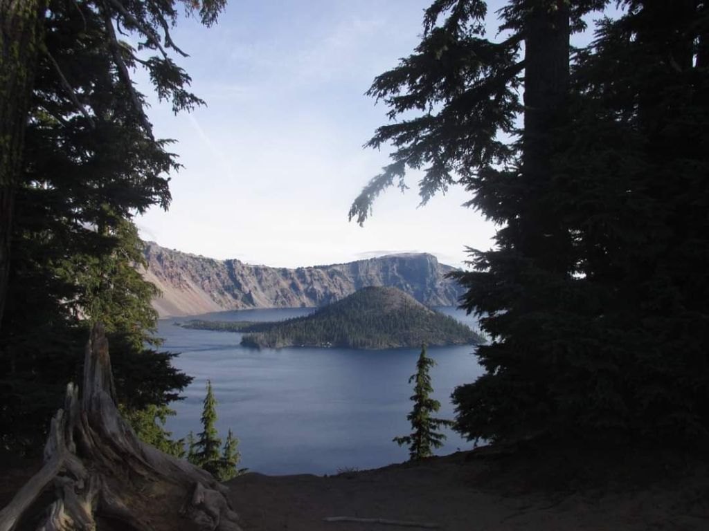
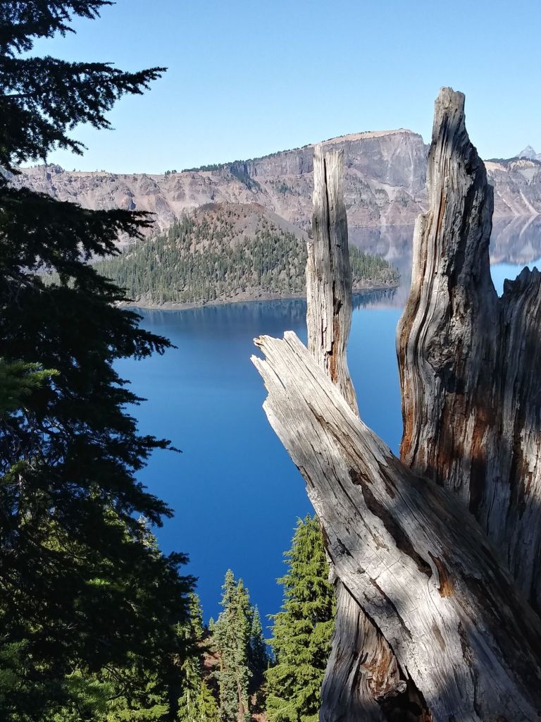
Deep blue waters surround tree-lined Wizard Island with its small crater on top, with steep slopes encircling the scene and plunging into the depths.
Add a layer of snow in the winter and it becomes even more stunning.
But Crater Lake is not in a crater at all.
Technically it sits in a caldera.
A caldera is formed when a magma chamber is emptied and collapses in on itself. That’s what happened to Mount Mazama when it erupted some 7,700 years ago, with Crater Lake gradually filling it in.
“It will be a long time before they call it Caldera Lake,” admitted a tour guide at nearby Newberry Caldera trying to explain the difference.
Wizard Island was the result of ensuing volcanic activity, with its top blasted out to form a crater.
But whether you call it Crater Lake or Caldera Lake, it offers viewers a striking blue color brought on by algae.
Wizard Island is the centerpiece of most photos coming out of Crater Lake National Park.
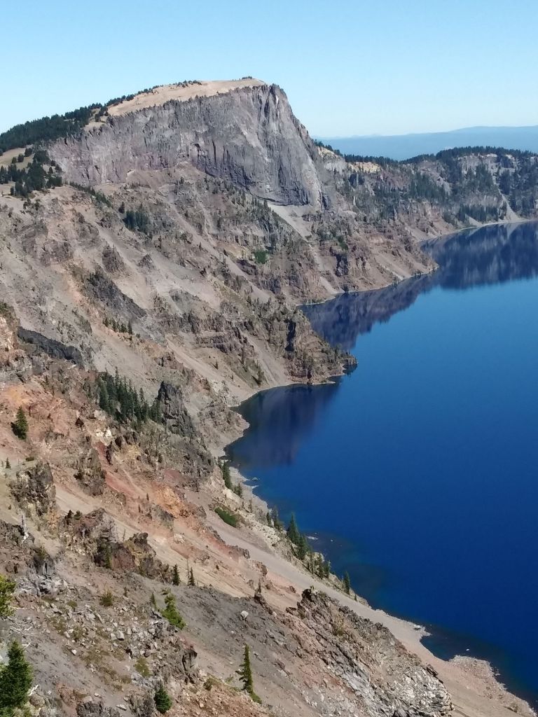
But the Southern Oregon scene stands out everywhere, with the ragged and rocky shell of Mount Mazama creating slopes that continue right down into the 1,943-foot deep lake.
A road goes around the whole caldera, weaving inside the rim at times to offer views of the lake.
The best place to see it is above the southwest portion.
It features a visitor center and lodge as well as a large parking area and trails through the trees on a fairly flat portion of land.
The lake is huge as well as deep at 4.971 miles across and covering 20.6 square miles. The surface sits at 6,178 feet in elevation.
Crater Lake is inhabited by sockeye salmon and rainbow trout.
Parts of the park are open during the winter depending on the weather.
Boat tours of the lake are offered in the summer.
Check out the Crater Lake website for current information.
How to Get There:
From the north on Interstate 5, take Highway 138 out of Roseburg and head east up the winding North Umpqua River.
The road turns south before you get to Diamond Lake and goes past it. Turn right into Crater Lake National Park.
From Medford and the south on I-5, get on Highway 62 and wander north up the Rogue River before veering east at Union Creek into the west entrance of the park.
From Highway 97 to the east, you can hop on Highway 138 at Diamond Lake Junction and take a 15 mile drive to where you turn left into the park.
From Klamath Falls and the south on Highway 97, take Highway 62 before you get to Chiloquin and drive northwest into the park’s south entrance.