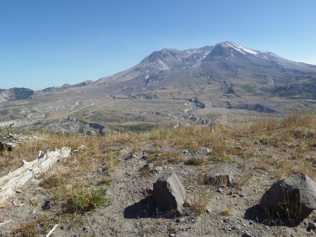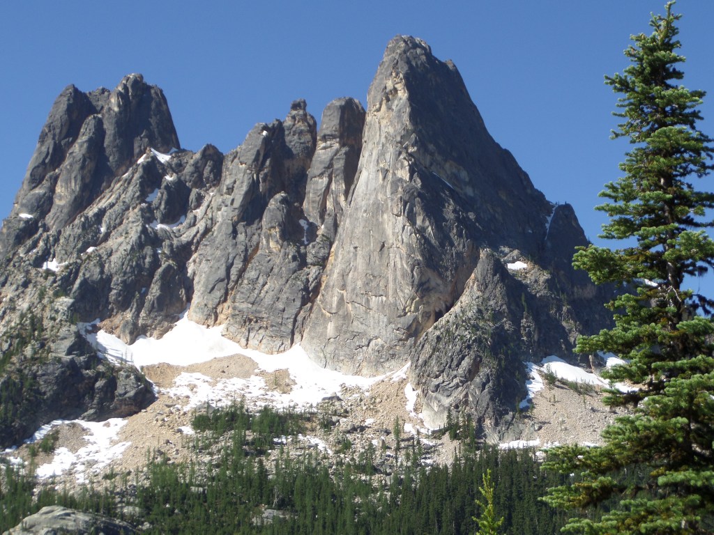
Photo by Tim Clinton
Liberty Bell Mountain looms large above Washington Pass on Washington’s North Cascades Highway.
By Tim Clinton
What comes to mind when you hear the phrase Liberty Bell?
Chances are you think of a cracked patriotic bell in Philadelphia.
But in the state of Washington it takes on a different meaning as a jagged mountain on the North Cascades Highway.
The northern portion of the Liberty Bell Massif series of peaks is bell shaped with a giant crack in it and thus earns the name Liberty Bell Mountain.
The massif as a whole resembles a cathedral or castle, and it towers above Washington Pass on Highway 20, with the best place to view it being the Washington Pass Overlook.
It is part way up the massif but out a ways, presenting a view of the east side of the mostly north-south running ridgeline.
Liberty Bell Mountain is the tallest point on the right as viewed from the overlook, standing at 7,720 feet above sea level.
The Early Winters Spires South stands out like a lookout tower on the left side, with the overlook also offering a view down toward Mazama and Winthrop.
It can also be seen from the west including from places in the Skagit Valley, but the best way to see it — and all of the North Cascades for that matter — is from the east going west.
The Washington Pass Overlook is at the end of a short pull off road and features a wide parking area and a short walk through alpine firs to the viewpoint.
The granite massif also stands like a lure for adventurous climbers, with the top of the Liberty Bell Mountain portion not reached until 1946.
How to get there:
Liberty Bell Massif and Washington Pass are located just east of North Cascades National Park on Highway 20.
They can be accessed from the east from the Methow Valley. To get to Highway 20 and the valley, take Highway 2 from Snohomish and Monroe just north of Seattle and head east, or take Highway 2 heading west out of Spokane.
Turn north on Highway 97 or 97A at Wenatchee until they converge in Chelan and keep going north to Highway 153, turning left onto it near Pateros. This cutoff takes you to Highway 20 at Twisp, where you turn left to head west.
There are two more options from west to east off Interstate-5. You can take Highway 530 near Arlington and join Highway 20 in Rockport, where you take a right.
You can also hop directly onto Highway 20 further north at the Burlington exit, turning right.
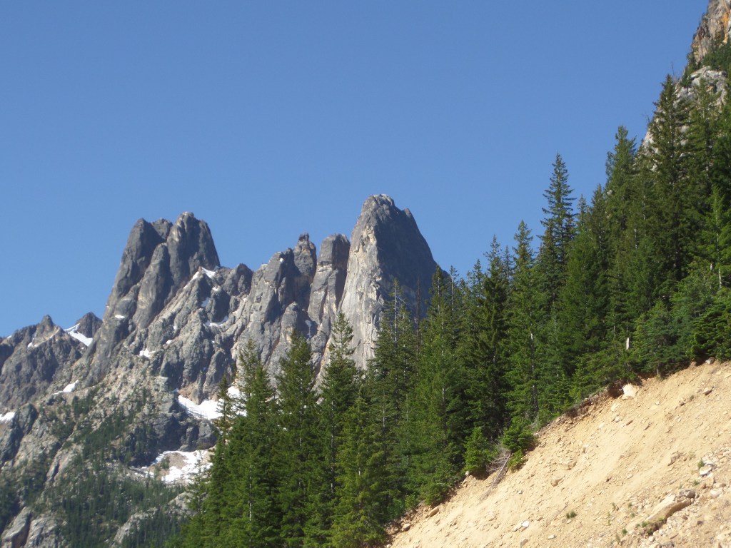
Photo by Tim Clinton
Liberty Bell Massif as viewed from farther east on Highway 20.